Supports showing map images on macOS systems
Used as part of the implementation to create map visualizations
Click on "Install Server".
Wait a few minutes for the server to deploy. Once ready, it will show a "Started" state.
In the chat, type
@followed by the MCP server name and your instructions, e.g., "@Geoapify MCP Serverget GPS coordinates for 1600 Pennsylvania Ave NW, Washington DC"
That's it! The server will respond to your query, and you can continue using it as needed.
Here is a step-by-step guide with screenshots.
Geoapify MCP Server
Convert addresses into GPS coordinates for mapping, and optionally create an image of those coordinates using the Geoapify server.

Installation
You'll need to get an API key from Geoapify, and set it as an environment variable named GEO_APIKEY.
Your claude_desktop_config.json will look like this after:
You'll notice we include all the dependencies in our args.
Related MCP server: Google Maps MCP Server
Tools
get_gps_coordinates
Used to get GPS coordinates from the API for creating GEOJSON, etc.
create_map_from_geojson
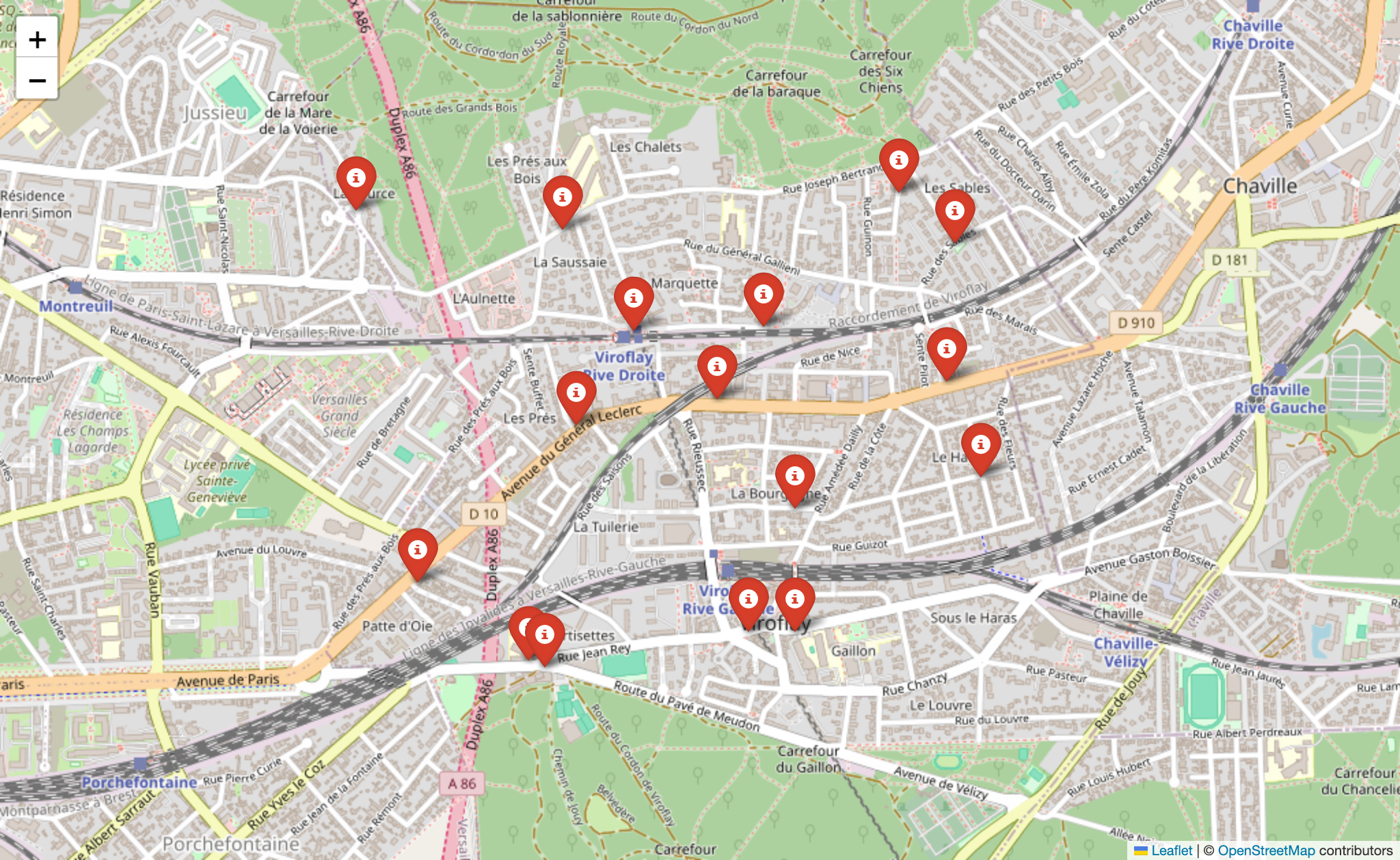
Create a map image and show it. (Showing only works on MacOS for now.)
Example Usage
Get GPS Coordinates
Result: Attached JSON file
Returns a GeoJSON file.
Create a Map Image
Result: 
LICENSE
MIT