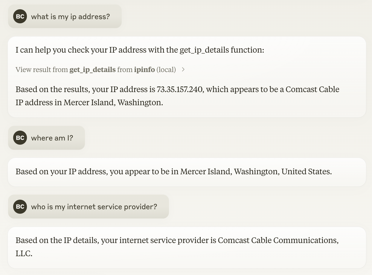
The IP Geolocation MCP Server retrieves detailed information about IP addresses using the ipinfo.io API.
Capabilities:
Geolocation: Determine the approximate geographic location of IP addresses
Network Information: Retrieve details about internet service providers (ISPs) or network operators
IP Analysis: Get comprehensive data including country, organization, and other relevant details
Client IP Lookup: Automatically fetch information about the requesting client's IP if no specific IP is provided
Integration: Easily integrate with tools like Claude desktop via configuration
Click on "Install Server".
Wait a few minutes for the server to deploy. Once ready, it will show a "Started" state.
In the chat, type
@followed by the MCP server name and your instructions, e.g., "@IP Geolocation MCP Serverwhere is 8.8.8.8 located?"
That's it! The server will respond to your query, and you can continue using it as needed.
Here is a step-by-step guide with screenshots.
IP Geolocation MCP Server
This is a simple Model Context Protocol server that uses the ipinfo.io API to get detailed information about an IP address. This can be used to determine where the user is located (approximately) and what network they are used.

Installation
You'll need to create a token to use the IPInfo API. If you don't already have one, you can sign up for a free account at https://ipinfo.io/signup.
While each client has its own way of specifying, you'll generally use the following values:
Field | Value |
Command |
|
Arguments |
|
Environment |
|
Development Version
If you'd like to use the latest and greatest, the server can be pulled straight from GitHub.
Just add an additional --from argument:
Field | Value |
Command |
|
Arguments |
|
Environment |
|
Related MCP server: Geocoding MCP Server
Components
Tools
get_ip_details: This tool is used to get detailed information about an IP address.Input:
ip: The IP address to get information about.Output:
IPDetails: A Pydantic model containing detailed information about the IP, including location, organization, and country details.
Resources
No custom resources are included
Prompts
No custom prompts are included
License
MIT License - See LICENSE file for details.
Disclaimer
This project is not affiliated with IPInfo.